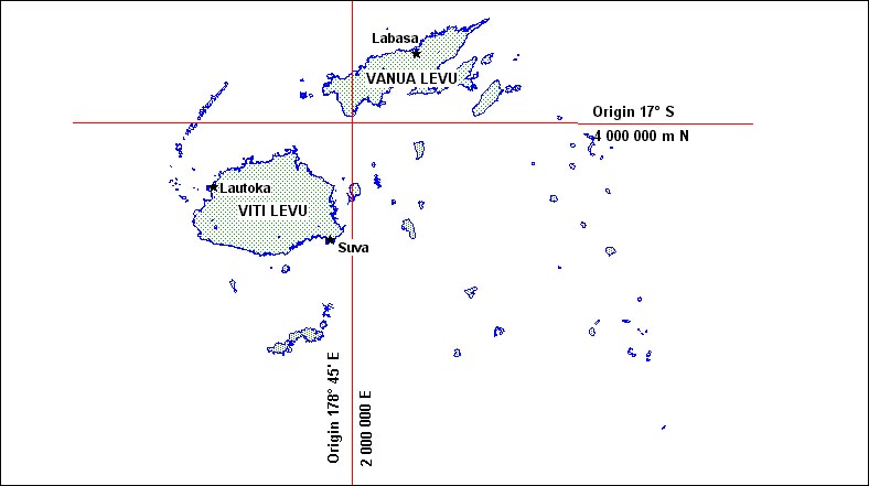
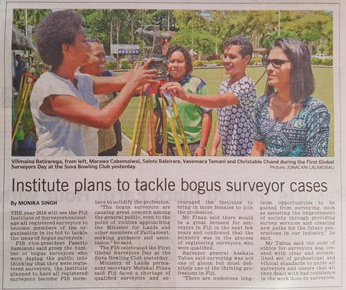
Surveyors are professional people whose academic qualifications and post-graduate training enable them to advise on the management and use of land and property, both rural and urban and whether developed or undeveloped. Surveyors understand the legislation governing land and property; the markets trading in it; the services supporting it; and the economics of construction, management, maintenance, acquisition and disposal.
Practice of the surveyor's profession involves a broad range of activities which may occur on, above or below the surface of the land or the sea, and which may be carried out in association with other professionals
Professional Body
We are the professional body in Fiji for:
- Land Surveyors
- Land Information systems managers
- Land Administrators
Members activities include:
- Cadastral surveys
- Subdivision design
- Topographic surveys
- Engineering surveys
- Land administration